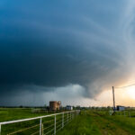
Storm Chase Details
Miles Logged: 174
States Chased: OK
Tornadoes Witnessed: 4
Largest Hail Encountered: 1.00 in.
Highest Wind Encountered: 70 MPH
Spotter Network Reports: 4
- Wall Cloud 1 miles W of McGee, OK
- Tornado 1 miles NNW of Vanoss, OK
- Tornado 1 miles W of Pickett, OK
- Tornado 1 miles W of Pickett, OK
Severe Reports: Storm Reports
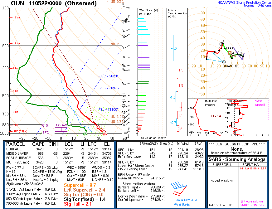
A very marginal day produces a tornado not far from home near Ada Oklahoma.
Morning and Afternoon of the 21st
After a night out in Norman, I slept in until afternoon. I wasn’t planning to chase and had a down day. When I finally got motivated, I looked at radar and saw a storm firing near Davis. The cap was expected to hold, so this got my attention. I took a quick shower and grabbed my gear and got into the truck.
Departing Norman
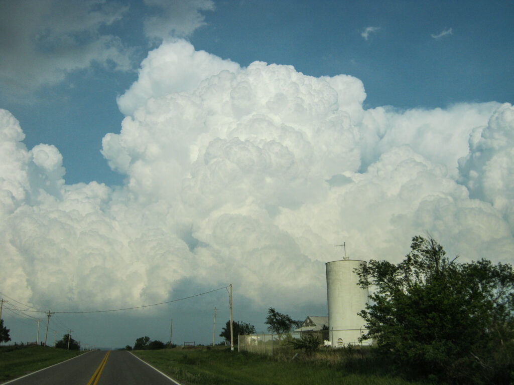
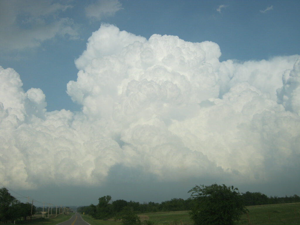
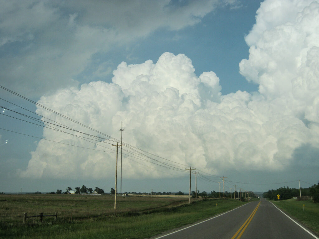
When I went outside, I noticed we had towering cumulus over Norman and south. I hadn’t filled my tank, so I had to stop for gas and a Rain-X in Purcell. The NWS issued a tornado warning for the storm between Davis and Sulphur with a storm motion of 15 MPH to the northeast. Tornado reports started rolling in while the cumulus east of Lexington was starting to show up on radar.
Getting on a storm near Byars
I headed east on SH-39 out of Lexington towards Asher where I passed under the base of the storm. I was not very impressed with that storm, and opted to drop south towards Stratford and Byars. That updraft was showing better VIL on radar.
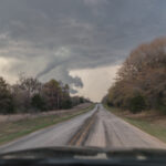
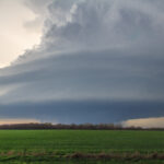
As I approached the storm near Byars, a tornado warning was issued for the supercell. It was developing an inflow tail and wall cloud and was visibly rotating, albeit slowly.
Storm wraps up near Stratford
As I continued following the storm, I drove through Stratford and positioned just southeast of town. I observed rapidly increasing inflow into the storm and the low level mesocyclone had become very defined and was rotating moderately. I dropped south to E154 Rd, which runs parallel with SH-19 and witnessed the first spin up. An intense multivortex had spun up just northwest of me in the field. Vortices started dancing with each other in the field briefly.
Ada Oklahoma Tornado
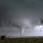
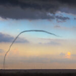
As the storm continued to intensify, I headed east. It was hard to get a view with the hills and trees. I eventually found a spot just east of County Road 345. When I looked back to the northwest, I witnessed a stovepipe tornado. I dropped a Spotter Network report and then setup my camera on the tripod.
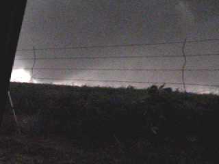
Another tornado touched down, this time turning into a dark cone with a debris field at the bottom. I called the NWS to let them know a new more violent tornado had touched down. Somewhere in all of the excitement, I had double-tapped my camera and was not recording. I realized this after the cone had dissipated. I hit record right away and captured one last brief tornado before it became too dark to see.
I got one single frame from the dashcamera streaming to ChaserTV with the imap tracker application.
Heading towards Ada and Dinner
I continued east on SH19 with the storm towards Ada before calling it and heading to the Applebees. I celebrated the tornadoes with other chasers with a steak dinner.
